

7 July 2026
In his office in MSU’s forestry department, EEB core faculty member David Carter shows off an image of a virtual forest on his laptop. It’s not just any forest. It’s a computerized replica, or “digital twin,” of a loblolly pine stand, created using lidar, the laser scanning technology that self-driving cars use to map their surroundings.
Carter says virtual landscapes like these could allow forest managers to test different management strategies in a simulation before deploying them in the real world.
The concept is not new. Digital twins are now widely used across industries ranging from manufacturing to healthcare to run “what if” scenarios before taking action. But now a similar revolution is taking place within forestry, opening up possibilities for more targeted treatments that minimize waste and bolster financial returns.
In some of his most recent work, Carter and his team have developed an AI tool that is now making this possible for pine plantations.
In the southeastern U.S., loblolly pines stretch across some 35 million acres, providing the raw material for everything from plywood to paper towels. The seedlings are typically planted in neat rows and then thinned after 12 to 15 years, to make room for the best specimens to grow into more valuable products like utility poles, fence posts and flooring.
“It’s kind of like weeding your garden,” said Carter, a core faculty member in MSU’s Ecology, Evolution and Behavior program. The idea is to help the best plants flourish by reducing competition.
The first thinning in a pine plantation involves choosing an arbitrary starting row and removing every third or fourth row from there. But pine plantations are never truly uniform. Some trees are runty or misshapen; others arrow-straight and vigorous.
So Carter got to thinking: rather than choose a starting row on the fly, selected at random, what if landowners could try different starting rows virtually, ahead of time, and know which ones would maximize growth and profits down the line — before making the first cut?
In a study recently published in the Journal of Forestry, Carter and his team flew a drone equipped with a lidar scanner over a 7.5-acre stand of loblolly pines in central Virginia before and after thinning. By emitting tens of thousands of laser pulses per second and measuring their return time, the technique generated a giant 3D cloud of points, essentially a digital copy, or twin, of the real-life forest below.
What’s exciting about lidar, Carter said, is it can “see” more of the trees.
Measuring every single tree over hundreds of acres would be a daunting task. If we sent teams out to do this on the ground they might measure 3% of a forest, taking a representative sample and extrapolating from there, he explained. But with lidar and an AI method developed with co-author Matthew Sumnall of Virginia Tech, the researchers were able to map 90% of the 3,555 trees in the stand.
By comparing their computer models with on-the-ground measurements, they found the digital twins could predict the trunk diameter and volume of each tree with high accuracy.
That level of detail is powerful, Carter said, because it creates an opportunity to move away from a one-size-fits-all approach to forest management.
Back in his office, Carter uploaded the lidar data to an app he recently developed with MSU computer science M.A. Amith Reddy, configured a few settings, and hit run. By running simulations on the digital twin of the forest, the app uses machine learning to predict how the trees are likely to grow in the future under different thinning scenarios.
Using their simulations, the team found that simply shifting the starting point by one row could preserve 15% more timber for future growth and higher profits.
Carter estimates the change could generate $70 per acre in additional earnings. Such gains might be of minimal importance in a given stand, but when compounded across thousands of acres, the savings could add up — especially for companies that are already using lidar for forest inventories.
“This shows that even a modest change in thinning practices could appreciably move the needle,” Carter said. Carter added that the work has potential applications beyond loblolly pine plantations, such as evaluating forest restoration methods. But because all the trees in a pine plantation are the same age and species, “they’re sort of like the kindergarten for precision forestry,” Carter said.
“If you’re going to try to use this technology and develop tools, they probably need to be able to work here first before we can go take them to more complicated scenarios,” Carter explained. “So pines are a nice test bed.” The take home, he said, is that “now we can work with a finer paint brush when designing forests.”
This research was supported by the Acorn Alcinda Foundation.
Source & image credit: Michigan State University
More Posts
12 Oct 2026
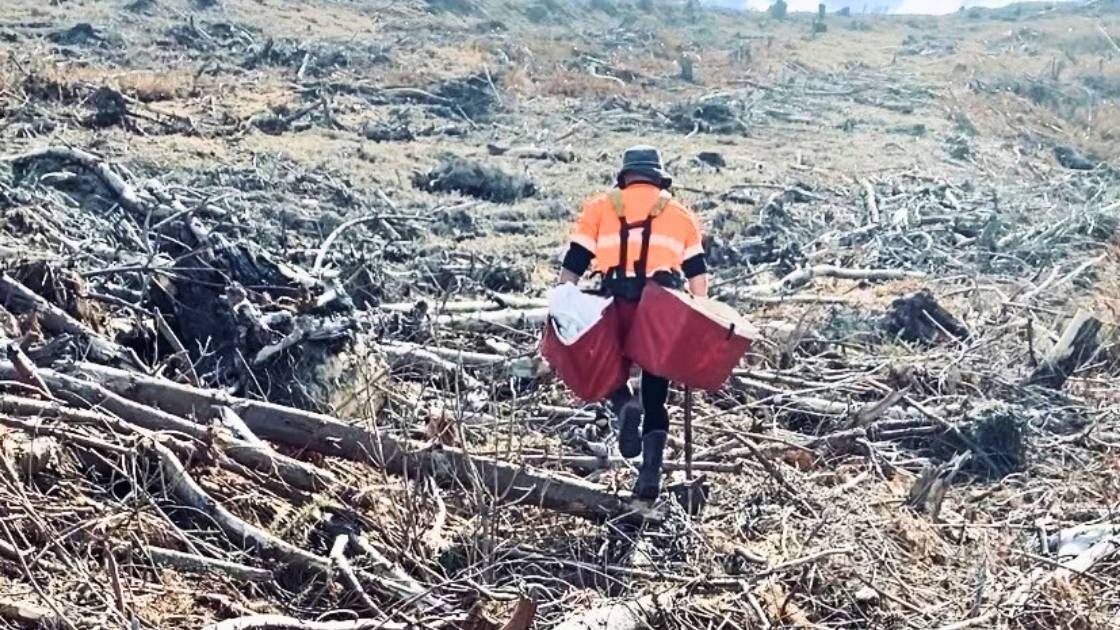
Can exoskeletons ease silviculture work?
Pruning and planting are among the most physically demanding tasks in forestry. Workers spend long hours undertaking repetitive movements, working with their arms elevated, handling loads, and navigating challenging terrain. While these activities are fundamental to establishing and maintaining productive ...
Read more
12 Oct 2026
Global sustainability progress report
The International Council of Forest and Paper Associations (ICFPA) released its biennial Sustainability Progress Report which demonstrates progress in seven key areas of sustainability. The 2026 report also highlights the role the forest products sector can play in helping meet ...
Read more
12 Oct 2026
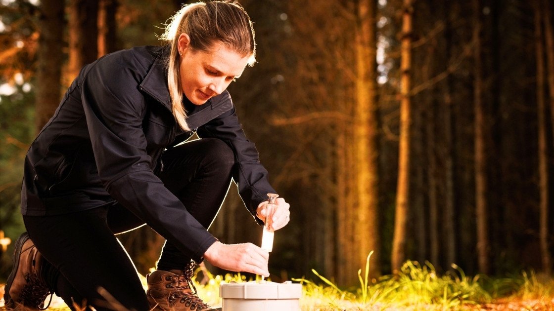
Study shows forest soils help offset methane emissions
Run over two years, the research looked at the methane uptake of soils in three planted forests – Orton Bradley Park and McLeans Island in Canterbury and Kaingaroa (New Zealand’s largest commercial pine plantation, in the Bay of Plenty) – ...
Read more
12 Oct 2026
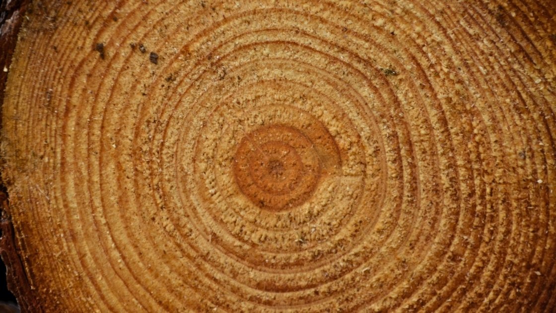
Faster wood formation matters more than longer growing seasons in a warming climate
In non-tropical forests, cold winters hinder tree growth. There, climate warming prolongs the period during which trees absorb carbon through photosynthesis and store it in wood, known as the growing season. This could potentially mitigate further climate change as wood ...
Read more

07 Sep 2026
Beyond Woodchips: Australia’s hardwood plantation industry must innovate
For more than three decades, Australia’s hardwood plantation industry has been built on a simple but largely successful business model: growing world-class plantation fibre for export to Asia’s pulp mills. It has underpinned regional economies, attracted significant investment and established ...
Read more

07 Sep 2026
Free program to help SMEs advance AI and digital tech ideas in Queensland
The free eight-week online program, delivered by Australia’s national science agency, CSIRO, helps businesses turn early-stage ideas into actionable R&D plans while building connections with expert facilitators and researchers. Offered through the Queensland Government-funded Regional University Industry Collaboration (RUIC) program, ...
Read more

07 Sep 2026
Science safeguards NZ’s rarest ecosystems
Some of New Zealand’s most remarkable ecosystems are also among its rarest. Now, new research is aimed at helping councils and land managers better understand and protect them. Led by the Bioeconomy Science Institute Maiangi Taiao, the two-year project will develop practical ...
Read more

07 Sep 2026
AI identifies trees from the air as accurately as the human eye
A new remote sensing method identifies the species of individual trees with an accuracy of up to 90 percent. Detailed data on species makes forestry more efficient and improves the monitoring of biodiversity. Thanks to recent research on tree species ...
Read more

07 Sep 2026
Learning Through the Storm: Report released
The Top of the South Wood Council, with support from Te Uru Rākau – New Zealand Forest Service, has recently released Learning Through the Storm, a report on the widespread windthrow caused by the severe storm events of 2025. On July ...
Read more

04 Sep 2026
Carbon Forestry 2026 – Event Summary
The Carbon Forestry 2026 Conference, held in Rotorua on 4–5 August, brought together forest managers, investors, industry leaders and government representatives to explore some of the big questions facing carbon forestry. The Government’s commitment to forestry was reinforced by Climate ...
Read more

11 Aug 2026
Forestry confirms new training partnership with Competenz
New Zealand’s forestry sector has confirmed it will align its workplace vocational training with the new Engineering and Manufacturing Private Training Establishment (PTE), operating under Competenz. The decision follows extensive consultation with employers, contractors and training providers, led by the ...
Read more

11 Aug 2026
FPInnovations launch new forest seeding by drone trial
In the wake of wildfires, bringing affected areas back into production poses a major challenge, particularly in remote or hard-to-reach areas. In Canada, wildfires affect an average of 2.8 million hectares of forest each year, underscoring the importance of exploring innovative ...
Read more

11 Aug 2026
Extracting knowledge from a forest 3d digital twin using TreeTools SilvaCloud
Modern LiDAR technology is transforming the way we understand forests. With the introduction of sensors such as the DJI Zenmuse L3, collecting detailed three-dimensional information about forest structure, terrain, and vegetation has become more accessible than ever before. At Interpine, ...
Read more

11 Aug 2026
Opportunities for improved firefighter safety in Australia
John O’Donnell Opinion Piece Firefighter safety in Australia requires urgent attention as forest structure, fuel loads and fire behaviour shift toward more dangerous conditions. Past crown fires have created dense shrub dominated understoreys, abundant dead wood, reduced height stratification and ...
Read more

11 Aug 2026
Annual reputation survey provides insight into public perceptions of forestry
The results of the Forest Growers Levy Trust’s 7th annual Social Licence to Operate (SLO) survey have been published, continuing to build one of the sector’s most valuable long-term evidence bases for understanding how New Zealanders view forestry. After 7 years ...
Read more

11 Aug 2026
Revisiting a forest experiment that lay forgotten for 30 years
What’s the best way to manage a forest? Australians have argued about this for decades. The debate is often framed as binary: do we protect forests entirely, or harvest trees to support local economies and communities? The reality is more ...
Read more

07 Jul 2026
Hexagon acquires ITRES to expand the scope of airborne mapping
Hexagon has acquired ITRES, the Calgary-based provider of high-performance airborne hyperspectral and thermal imaging systems, strengthening its ability to deliver richer multi-sensor geospatial data for advanced airborne mapping and analysis. The acquisition unites two complementary portfolios under one provider. Hexagon ...
Read more
07 Jul 2026
How ‘digital twins’ could help predict the fate of a forest
In his office in MSU’s forestry department, EEB core faculty member David Carter shows off an image of a virtual forest on his laptop. It’s not just any forest. It’s a computerized replica, or “digital twin,” of a loblolly pine stand, created ...
Read more

07 Jul 2026
Call for Presenters – ForestTECH 2027
Innovatek is inviting expressions of interest from technology developers, researchers, forest managers and equipment suppliers interested in presenting at ForestTECH 2027, Australasia’s leading forestry technology conference. The event series is running 9-10 March 2027 in Brisbane, Australia, and 16-17 March ...
Read more

07 Jul 2026
NZ safety gains drive drop in forestry’s injury claims
Forestry’s injury claims have fallen by around 34 percent since 2018, reflecting sustained improvements in safety performance and injury prevention across the sector. ACC has highlighted the Forest Industry Safety Council (FISC) as a strong example of what can be ...
Read more

07 Jul 2026
New data provides opportunities for wildfire hazard analysis
New research from the Bioeconomy Science Institute Maiangi Taiao aims to improve New Zealand’s wildfire preparedness and response. The institute has developed national-scale wildfire hazard potential data layers to help communities, businesses and wildfire managers better understand the areas that are more likely to burn under high-risk conditions, and how severe fire behaviour is likely to be. The data was developed by simulating more than 500,000 potential ...
Read more