

7 July 2026
Hexagon has acquired ITRES, the Calgary-based provider of high-performance airborne hyperspectral and thermal imaging systems, strengthening its ability to deliver richer multi-sensor geospatial data for advanced airborne mapping and analysis.
The acquisition unites two complementary portfolios under one provider. Hexagon brings a market-leading suite of airborne sensing and processing products for geodata development – including Lidar point clouds, high-resolution optical imagery, digital twins, integrated workflow software, flight planning tools and data delivery systems. ITRES adds hyperspectral and thermal imaging sensors operating across a wide spectrum of wavelengths, enabling precise material identification and temperature analysis beyond the reach of visible and near-infrared modalities alone.
Together, these capabilities allow customers to collect richer, more analytically powerful datasets from a single airborne survey. Fusing multispectral and thermal data with Lidar and optical imagery opens new possibilities for ground surface assessment, object classification and thermal property detection, while Hexagon’s proven software ecosystem helps teams process and act on that data faster. The result is a more complete multi-sensor mapping platform, and new opportunities for hybrid data fusion workflows that previously required combining solutions from multiple vendors.
Source: GIM International
Image credit: Hexagon / ITRES
More Posts
12 Oct 2026
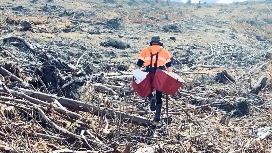
Can exoskeletons ease silviculture work?
Pruning and planting are among the most physically demanding tasks in forestry. Workers spend long hours undertaking repetitive movements, working with their arms elevated, handling loads, and navigating challenging terrain. While these activities are fundamental to establishing and maintaining productive ...
Read more

12 Oct 2026
Global sustainability progress report
The International Council of Forest and Paper Associations (ICFPA) released its biennial Sustainability Progress Report which demonstrates progress in seven key areas of sustainability. The 2026 report also highlights the role the forest products sector can play in helping meet ...
Read more

12 Oct 2026
Study shows forest soils help offset methane emissions
Run over two years, the research looked at the methane uptake of soils in three planted forests – Orton Bradley Park and McLeans Island in Canterbury and Kaingaroa (New Zealand’s largest commercial pine plantation, in the Bay of Plenty) – ...
Read more

12 Oct 2026
Faster wood formation matters more than longer growing seasons in a warming climate
In non-tropical forests, cold winters hinder tree growth. There, climate warming prolongs the period during which trees absorb carbon through photosynthesis and store it in wood, known as the growing season. This could potentially mitigate further climate change as wood ...
Read more

07 Sep 2026
Beyond Woodchips: Australia’s hardwood plantation industry must innovate
For more than three decades, Australia’s hardwood plantation industry has been built on a simple but largely successful business model: growing world-class plantation fibre for export to Asia’s pulp mills. It has underpinned regional economies, attracted significant investment and established ...
Read more

07 Sep 2026
Free program to help SMEs advance AI and digital tech ideas in Queensland
The free eight-week online program, delivered by Australia’s national science agency, CSIRO, helps businesses turn early-stage ideas into actionable R&D plans while building connections with expert facilitators and researchers. Offered through the Queensland Government-funded Regional University Industry Collaboration (RUIC) program, ...
Read more

07 Sep 2026
Science safeguards NZ’s rarest ecosystems
Some of New Zealand’s most remarkable ecosystems are also among its rarest. Now, new research is aimed at helping councils and land managers better understand and protect them. Led by the Bioeconomy Science Institute Maiangi Taiao, the two-year project will develop practical ...
Read more

07 Sep 2026
AI identifies trees from the air as accurately as the human eye
A new remote sensing method identifies the species of individual trees with an accuracy of up to 90 percent. Detailed data on species makes forestry more efficient and improves the monitoring of biodiversity. Thanks to recent research on tree species ...
Read more

07 Sep 2026
Learning Through the Storm: Report released
The Top of the South Wood Council, with support from Te Uru Rākau – New Zealand Forest Service, has recently released Learning Through the Storm, a report on the widespread windthrow caused by the severe storm events of 2025. On July ...
Read more

04 Sep 2026
Carbon Forestry 2026 – Event Summary
The Carbon Forestry 2026 Conference, held in Rotorua on 4–5 August, brought together forest managers, investors, industry leaders and government representatives to explore some of the big questions facing carbon forestry. The Government’s commitment to forestry was reinforced by Climate ...
Read more

11 Aug 2026
Forestry confirms new training partnership with Competenz
New Zealand’s forestry sector has confirmed it will align its workplace vocational training with the new Engineering and Manufacturing Private Training Establishment (PTE), operating under Competenz. The decision follows extensive consultation with employers, contractors and training providers, led by the ...
Read more

11 Aug 2026
FPInnovations launch new forest seeding by drone trial
In the wake of wildfires, bringing affected areas back into production poses a major challenge, particularly in remote or hard-to-reach areas. In Canada, wildfires affect an average of 2.8 million hectares of forest each year, underscoring the importance of exploring innovative ...
Read more

11 Aug 2026
Extracting knowledge from a forest 3d digital twin using TreeTools SilvaCloud
Modern LiDAR technology is transforming the way we understand forests. With the introduction of sensors such as the DJI Zenmuse L3, collecting detailed three-dimensional information about forest structure, terrain, and vegetation has become more accessible than ever before. At Interpine, ...
Read more

11 Aug 2026
Opportunities for improved firefighter safety in Australia
John O’Donnell Opinion Piece Firefighter safety in Australia requires urgent attention as forest structure, fuel loads and fire behaviour shift toward more dangerous conditions. Past crown fires have created dense shrub dominated understoreys, abundant dead wood, reduced height stratification and ...
Read more

11 Aug 2026
Annual reputation survey provides insight into public perceptions of forestry
The results of the Forest Growers Levy Trust’s 7th annual Social Licence to Operate (SLO) survey have been published, continuing to build one of the sector’s most valuable long-term evidence bases for understanding how New Zealanders view forestry. After 7 years ...
Read more

11 Aug 2026
Revisiting a forest experiment that lay forgotten for 30 years
What’s the best way to manage a forest? Australians have argued about this for decades. The debate is often framed as binary: do we protect forests entirely, or harvest trees to support local economies and communities? The reality is more ...
Read more
07 Jul 2026
Hexagon acquires ITRES to expand the scope of airborne mapping
Hexagon has acquired ITRES, the Calgary-based provider of high-performance airborne hyperspectral and thermal imaging systems, strengthening its ability to deliver richer multi-sensor geospatial data for advanced airborne mapping and analysis. The acquisition unites two complementary portfolios under one provider. Hexagon ...
Read more

07 Jul 2026
How ‘digital twins’ could help predict the fate of a forest
In his office in MSU’s forestry department, EEB core faculty member David Carter shows off an image of a virtual forest on his laptop. It’s not just any forest. It’s a computerized replica, or “digital twin,” of a loblolly pine stand, created ...
Read more

07 Jul 2026
Call for Presenters – ForestTECH 2027
Innovatek is inviting expressions of interest from technology developers, researchers, forest managers and equipment suppliers interested in presenting at ForestTECH 2027, Australasia’s leading forestry technology conference. The event series is running 9-10 March 2027 in Brisbane, Australia, and 16-17 March ...
Read more

07 Jul 2026
NZ safety gains drive drop in forestry’s injury claims
Forestry’s injury claims have fallen by around 34 percent since 2018, reflecting sustained improvements in safety performance and injury prevention across the sector. ACC has highlighted the Forest Industry Safety Council (FISC) as a strong example of what can be ...
Read more

07 Jul 2026
New data provides opportunities for wildfire hazard analysis
New research from the Bioeconomy Science Institute Maiangi Taiao aims to improve New Zealand’s wildfire preparedness and response. The institute has developed national-scale wildfire hazard potential data layers to help communities, businesses and wildfire managers better understand the areas that are more likely to burn under high-risk conditions, and how severe fire behaviour is likely to be. The data was developed by simulating more than 500,000 potential ...
Read more