

4 September 2023
Geospatial satellite startup NUVIEW on an ambitious mission
Anew and ambitious startup called NUVIEW entered the geospatial satellite industry in May 2023, following a lengthy period in ‘stealth mode’. In this exclusive interview with GIM International, the company’s CEO and co-founder Clint Graumann discusses the firm’s aspirations.
The startup is on a mission to revolutionize Earth observation by constructing the world’s first-ever commercial Lidar satellite constellation dedicated to annually mapping the entire land surface of the planet in 3D and developing intricate virtual replicas or ‘digital twins’. This ambitious endeavour signifies NUVIEW’s commitment to leveraging cutting-edge technology to provide comprehensive and high-resolution geospatial data that will empower multiple critical sectors – such as agriculture, urban planning and disaster mitigation – and drive impact and innovation across the globe.
How did NUVIEW come about? What are the driving forces behind your groundbreaking plan?
We envision a future with an unparalleled wealth of precise, high-resolution data of the Earth’s surface. In a nutshell, I would say that we aim to revolutionize the market by executing our bold vision to create a network of cutting-edge satellites that will provide a continuously updated global 3D point cloud from space. Our company emerged from a deep understanding and recognition of the limitations of traditional Earth observation and mapping methods. Leveraging our extensive experience, we have assembled a team of exceptional professionals and are developing first-of-its-kind technology.
How many satellites will be necessary? What level of resolution are you aiming for, and what is the intended timeframe?
We aim to have 20 satellites in the NUVIEW constellation, and we are building our system with the target of achieving the US Geological Survey’s Topographic Data Quality Levels, beginning with QL2 and progressing over time. As things currently stand, the intention is to launch our satellites in four separate groups. Each group will comprise five satellites, and there will be an 18-month interval between the launch of each group. As a tentative timeline, we plan to launch the first satellites in 24-36 months’ time.
What has been the market reaction to NUVIEW?
Word spreads quickly within the geospatial/mapping community, and our groundbreaking technology created a buzz among people who have been waiting for these advancements. As news of our innovative technology circulated, we began receiving inquiries from numerous groups interested in working with us. These initial contacts paved the way for strong relationships, ultimately leading to letters of intent, early-adopter agreements and other contracts totalling US$1.2 billion from a wide range of commercial and public entities. And we’re strategically positioned to unveil more fundraising initiatives in the weeks to come.
Source: GIM International
More Posts

10 Nov 2026
ForestTECH 2027 programmes released: AI, autonomous systems, & precision silviculture
Innovatek has officially released the full conference programmes for ForestTECH 2027, Australasia’s premier event series dedicated to forest resource management, remote sensing, GIS, precision silviculture, and operational technology. Celebrating its 20th year, the 2027 series will run on 9-10 March ...
Read more

10 Nov 2026
Drone project to tackle wasps and hornet nests takes flight
The Bioeconomy Science Institute Maiangi Taiao is exploring cost-effective drone systems to make nest removal safer, faster and easier in high-risk locations, such as tall trees, cliff faces, and steep gullies. The project, funded by Better Border Biosecurity (B3), begins ...
Read more

10 Nov 2026
Finland’s forest database expands to cover 8.5 billion trees – one of the largest in the world
The forest database, which began as a research experiment, now includes data on 8.5 billion trees over an area of 29 million hectares. The database, which has grown to cover almost all of Finland, is a demonstration that at-scale production ...
Read more

10 Nov 2026
New program to strengthen forest certification and auditing capability
A new training program aims to strengthen auditing capability across the forestry sector in Australia and New Zealand, helping forestry businesses build the expertise to navigate certification requirements, while expanding the pool of specialist auditors equipped to assess forest management practices ...
Read more
12 Oct 2026
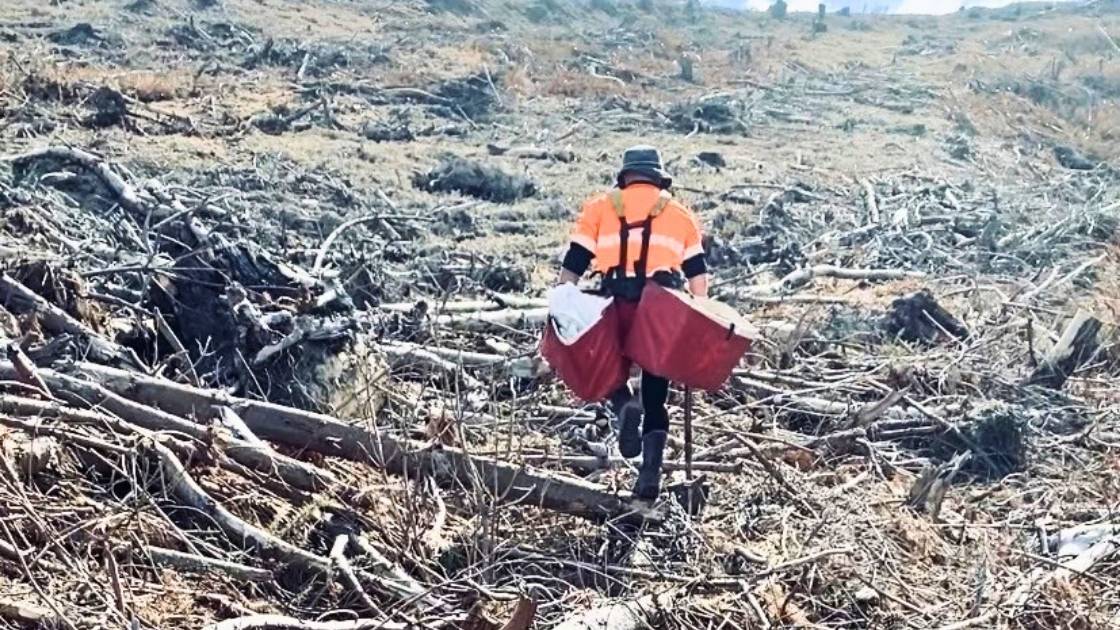
Can exoskeletons ease silviculture work?
Pruning and planting are among the most physically demanding tasks in forestry. Workers spend long hours undertaking repetitive movements, working with their arms elevated, handling loads, and navigating challenging terrain. While these activities are fundamental to establishing and maintaining productive ...
Read more
12 Oct 2026
Global sustainability progress report
The International Council of Forest and Paper Associations (ICFPA) released its biennial Sustainability Progress Report which demonstrates progress in seven key areas of sustainability. The 2026 report also highlights the role the forest products sector can play in helping meet ...
Read more
12 Oct 2026
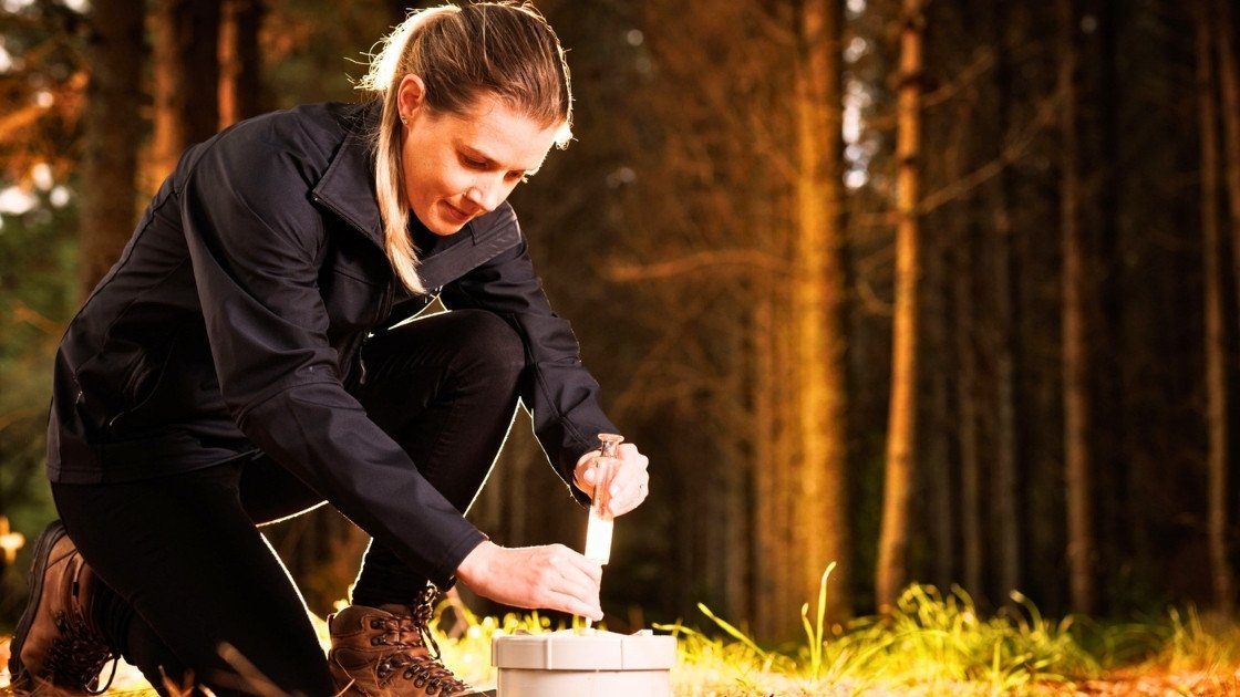
Study shows forest soils help offset methane emissions
Run over two years, the research looked at the methane uptake of soils in three planted forests – Orton Bradley Park and McLeans Island in Canterbury and Kaingaroa (New Zealand’s largest commercial pine plantation, in the Bay of Plenty) – ...
Read more

12 Oct 2026
Faster wood formation matters more than longer growing seasons in a warming climate
In non-tropical forests, cold winters hinder tree growth. There, climate warming prolongs the period during which trees absorb carbon through photosynthesis and store it in wood, known as the growing season. This could potentially mitigate further climate change as wood ...
Read more

07 Sep 2026
Beyond Woodchips: Australia’s hardwood plantation industry must innovate
For more than three decades, Australia’s hardwood plantation industry has been built on a simple but largely successful business model: growing world-class plantation fibre for export to Asia’s pulp mills. It has underpinned regional economies, attracted significant investment and established ...
Read more

07 Sep 2026
Free program to help SMEs advance AI and digital tech ideas in Queensland
The free eight-week online program, delivered by Australia’s national science agency, CSIRO, helps businesses turn early-stage ideas into actionable R&D plans while building connections with expert facilitators and researchers. Offered through the Queensland Government-funded Regional University Industry Collaboration (RUIC) program, ...
Read more

07 Sep 2026
Science safeguards NZ’s rarest ecosystems
Some of New Zealand’s most remarkable ecosystems are also among its rarest. Now, new research is aimed at helping councils and land managers better understand and protect them. Led by the Bioeconomy Science Institute Maiangi Taiao, the two-year project will develop practical ...
Read more

07 Sep 2026
AI identifies trees from the air as accurately as the human eye
A new remote sensing method identifies the species of individual trees with an accuracy of up to 90 percent. Detailed data on species makes forestry more efficient and improves the monitoring of biodiversity. Thanks to recent research on tree species ...
Read more

07 Sep 2026
Learning Through the Storm: Report released
The Top of the South Wood Council, with support from Te Uru Rākau – New Zealand Forest Service, has recently released Learning Through the Storm, a report on the widespread windthrow caused by the severe storm events of 2025. On July ...
Read more

04 Sep 2026
Carbon Forestry 2026 – Event Summary
The Carbon Forestry 2026 Conference, held in Rotorua on 4–5 August, brought together forest managers, investors, industry leaders and government representatives to explore some of the big questions facing carbon forestry. The Government’s commitment to forestry was reinforced by Climate ...
Read more

11 Aug 2026
Forestry confirms new training partnership with Competenz
New Zealand’s forestry sector has confirmed it will align its workplace vocational training with the new Engineering and Manufacturing Private Training Establishment (PTE), operating under Competenz. The decision follows extensive consultation with employers, contractors and training providers, led by the ...
Read more

11 Aug 2026
FPInnovations launch new forest seeding by drone trial
In the wake of wildfires, bringing affected areas back into production poses a major challenge, particularly in remote or hard-to-reach areas. In Canada, wildfires affect an average of 2.8 million hectares of forest each year, underscoring the importance of exploring innovative ...
Read more

11 Aug 2026
Extracting knowledge from a forest 3d digital twin using TreeTools SilvaCloud
Modern LiDAR technology is transforming the way we understand forests. With the introduction of sensors such as the DJI Zenmuse L3, collecting detailed three-dimensional information about forest structure, terrain, and vegetation has become more accessible than ever before. At Interpine, ...
Read more

11 Aug 2026
Opportunities for improved firefighter safety in Australia
John O’Donnell Opinion Piece Firefighter safety in Australia requires urgent attention as forest structure, fuel loads and fire behaviour shift toward more dangerous conditions. Past crown fires have created dense shrub dominated understoreys, abundant dead wood, reduced height stratification and ...
Read more

11 Aug 2026
Annual reputation survey provides insight into public perceptions of forestry
The results of the Forest Growers Levy Trust’s 7th annual Social Licence to Operate (SLO) survey have been published, continuing to build one of the sector’s most valuable long-term evidence bases for understanding how New Zealanders view forestry. After 7 years ...
Read more

11 Aug 2026
Revisiting a forest experiment that lay forgotten for 30 years
What’s the best way to manage a forest? Australians have argued about this for decades. The debate is often framed as binary: do we protect forests entirely, or harvest trees to support local economies and communities? The reality is more ...
Read more

07 Jul 2026
Hexagon acquires ITRES to expand the scope of airborne mapping
Hexagon has acquired ITRES, the Calgary-based provider of high-performance airborne hyperspectral and thermal imaging systems, strengthening its ability to deliver richer multi-sensor geospatial data for advanced airborne mapping and analysis. The acquisition unites two complementary portfolios under one provider. Hexagon ...
Read more